Dublin: Mapping the City
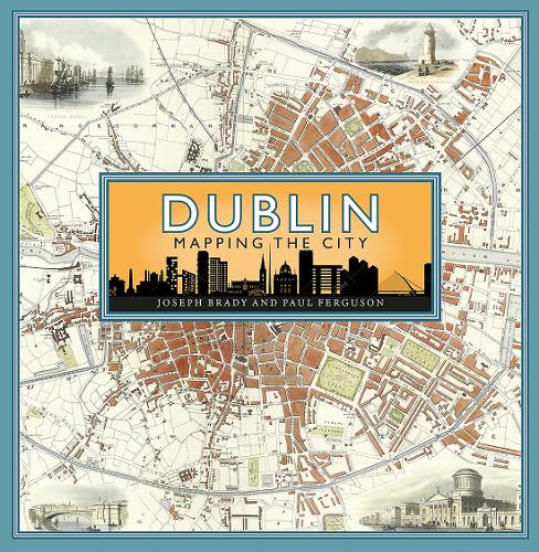
Dublin: Mapping the City
hardback
Published:
14 September, 2023
Popular Books by Joseph Brady
View All Books by Joseph Brady


Description
Hodges Figgis Book of the Year 2023
Maps are essential tools in finding our way around, but they also tell stories and are great depositories of information. Until the twentieth century and the arrival of aerial images, a map was the best way of getting a sense of what a city looked like on the ground.
Through a carefully chosen selection of maps, the book traces the growth and development of Dublin from the early seventeenth century to the present day, offering a fascinating snap-shot of how the city has changed over time.
Whilst the maps recount the big stories – the impact of major forces such as the restoration of the monarchy in 1660 or the effects of the Easter Rising in 1916 and the Civil War in 1922 – they also tell the smaller tales such as the creation of a colony of Irish speakers in the late 1920s and the arrival of parking meters and how they changed how people could use the city centre. Together with maps that reveal much about the famous buildings, transport, health, trade, life and work of the city, this book is a fascinating portrait of Dublin through the ages which offers many new perspectives on one of Europe’s great cities.
More Details
| Type | Book |
|---|---|
| ISBN13 | 9781780277516 |
| ISBN10 | 1780277512 |
| Number Of Pages | 272 |
| Item Weight | 1736 g |
| Product Dimensions | 250 x 250 x 35 mm |
| Publisher / Reseller | Birlinn General |
| Format | hardback |
Media Reviews
'An absolutely fascinating and beautiful book using maps to help us understand the growth and development of Dublin over time… I can’t emphasise enough how gorgeous the book is'
-- Dr. Miranda Melcher * New Books Network *'A fascinating new book... an eclectic, illuminating cornucopia of unusual maps ... judiciously selected and explained by Brady and Ferguson'
* Irish Independent *'A fine, solid, beautifully produced book ... wonderfully filled with information, written with a crisp clarity'
* The Irish Catholic *'an eclectic, illuminating cornucopia of unusual maps, stretching back to 17th century charts to help sea captains approach the narrow entry into Dublin Bay . . . You may never have thought that a city planner once contemplated using gondolas to ease traffic congestion, or another felt that the solution lay in using flying boats, but you would be wrong'
* Irish Independent *'clearly-written, properly researched, and (a key point, this) always directly related to the map or plan and what it shows... the book is an object lesson in how to use cartographic sources in historical analysis and description'
-- Alan Crosby * The Local Historian *Author's Bio
Joseph (Joe) Brady taught in the school of Geography at University College Dublin. He has been writing about the development of Dublin for many years and is one of the leading experts in the field.
Paul Ferguson is Map Librarian at Trinity College Library, Dublin.