Bournemouth A-Z Street Atlas
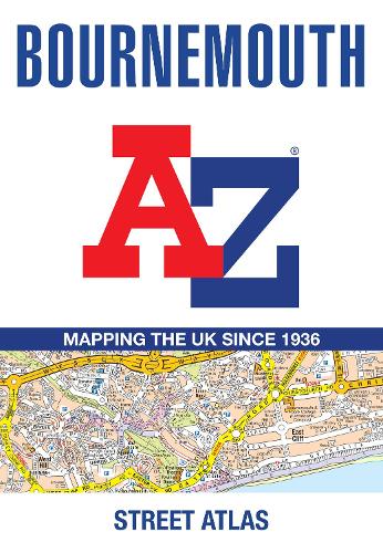
Bournemouth A-Z Street Atlas
paperback
Published:
21 May, 2026

Popular Books by A-Z Maps
View All Books by A-Z Maps


Description
Printed in full-colour, paperback format, this atlas contains 63 pages of continuous street mapping.
Coverage includes: Poole, Christchurch, Ringwood, Wimborne Minster, Ferndown, Bournemouth Airport, Barton on Sea, Milford on Sea, Lymington.
In addition, there are separate coverages of Verwood, Lyndhurst and Brockenhurst, two large scale town centre maps of Bournemouth and Poole.
Postcode districts, one-way streets, park and ride sites and the New Forest National Park boundary are also featured on the mapping.
The index section lists streets, selected flats, walkways and places of interest, place, area and station names, hospitals and hospices covered by this atlas.
More Details
| Type | Book |
|---|---|
| ISBN13 | 9780008780555 |
| ISBN10 | 0008780552 |
| Number Of Pages | 108 |
| Item Weight | 270 g |
| Product Dimensions | 149 x 215 x 7 mm |
| Publisher / Reseller | HarperCollins Publishers |
| Format | paperback |
| Edition | Tenth edition |
Author's Bio
Britain’s leading street map publisher providing cartographic services, digital data products and paper mapping publications (including Street Atlases, Visitors Guides, Great Britain Road Atlases and The Adventure Atlas).