Central London A-Z Pocket Street Map :Detailed and Accurate Iconic Street Map of London
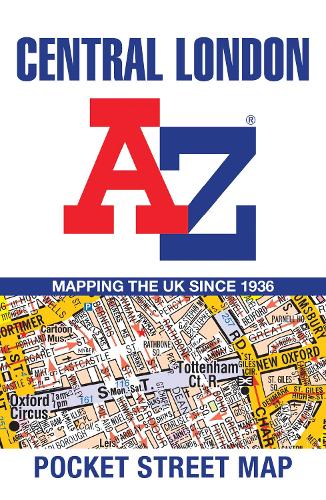
Central London A-Z Pocket Street Map :Detailed and Accurate Iconic Street Map of London
map
Published:
20 June, 2024
Popular Books by A-Z Maps
View All Books by A-Z Maps


Description
This fully updated, folded map covers all of Central London, including: Regent's Park, King's Cross, The Barbican, Spitalfields, Tower Bridge, The South Bank, Waterloo Station, Westminster, South Kensington, Paddington Station and Lord's Cricket Ground.
This large scale 1 mile to 4.5 inch (1 km to 7.14 cm) street map includes the following:
• Places of interest
• One-way streets and car parks
• Index to streets, places of interest, place and area names, park and ride sites, national rail stations, hospitals and hospices
• Separate lists of streets, places of interest, cinemas, theatres and stations (which include London Underground, National Rail and Docklands Light Railway stations)
• A central London Underground Map is printed on the back cover.
The perfect reference map for finding your way around Central London.
More Details
| Type | Book |
|---|---|
| ISBN13 | 9780008657475 |
| ISBN10 | 0008657475 |
| Number Of Pages | 1 |
| Item Weight | 40 g |
| Product Dimensions | 100 x 150 x 9 mm |
| Publisher / Reseller | HarperCollins Publishers |
| Format | map |
| Edition | 26th Revised edition |
Author's Bio
Britain’s leading street map publisher providing cartographic services, digital data products and paper mapping publications (including Street Atlases, Visitor Maps, Great Britain Road Atlases and the Adventure Series).