London A-Z Street Atlas :Detailed and Accurate Iconic Street Map of London
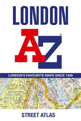
London A-Z Street Atlas :Detailed and Accurate Iconic Street Map of London
paperback
Published:
9 May, 2024

Popular Books by A-Z Maps
View All Books by A-Z Maps


Description
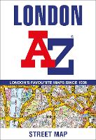
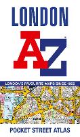
First published in 1936, this iconic atlas is a trusted means of finding your way around the capital city.
The main mapping extends beyond Central London from Heathrow Airport to Chingford at a scale of 2.88 inches to 1 mile (4.55 cm to 1 km), featuring postcode districts, one-way streets, the Congestion Charging Zone and Low Emission Zone.
The large-scale street map of Central London – at a scale of 5.75 inches to 1 mile – cover Regent’s Park and Shoreditch, Chelsea and Vauxhall, Hyde Park and Bermondsey.
A comprehensive index lists streets, selected flats, walkways and places of interest, place, area and junction names. Additional healthcare (hospitals, walk-in centres and hospices) and transport connections (National Rail, London Tramlink, Docklands Light Railway, London Underground and Overground stations, and River Bus pier) are indexed as well.
Also included are:
• Overview map of the Congestion Charging Zone, Ultra Low Emission and Low Emission Zones
• West End Theatre map
• London Connections rail services map
More Details
| Type | Book |
|---|---|
| ISBN13 | 9780008663490 |
| ISBN10 | 0008663491 |
| Number Of Pages | 464 |
| Item Weight | 510 g |
| Product Dimensions | 130 x 193 x 22 mm |
| Publisher / Reseller | HarperCollins Publishers |
| Format | paperback |
Author's Bio
Britain’s leading street map publisher providing cartographic services, digital data products and paper mapping publications (including Street Atlases, Visitors Guides, Great Britain Road Atlases and The Adventure Atlas).