Storlien, Sylarna, Helags & Ramundberget - Mountain map detailed scale
Storlien, Sylarna, Helags & Ramundberget - Mountain map detailed scale
map | Swedish
Published:
1 January, 2022
map | Swedish
Published:
1 January, 2022
Standard worldwide delivery by
Wed, July 15 - Mon, July 20
Order within
0
Condition:
NEW
$17.60
RRP
$20.07
You save $2.48 (12%)
Available
1
in stock
FREE Returns within 30 days
Description
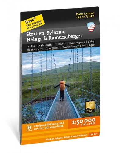
This map is one of the maps we call the new generation mountain map. This means a wealth of detail that is not found in other maps of the same area. The terrain information is based on airborne laser scanning. In addition to completely new height curves with an equidistance of 10 meters, watercourses and slopes, among other things, appear in a significantly better way than before. The trails are reproduced with greater accuracy, as are sinkholes, buildings, stony ground and difficult-to-access vegetation. The section on one side of this map is centered around the very popular hiking tour Jamtlandstriangeln which runs between Storulvan, Sylarna and Blahammaren. The site also accommodates Snasahoegarna, Bunnerfjallen and Gasen. The other side covers the area to the south where Jamtland transitions to Harjedalen with Helags, Ljungdalen, Flatruet and Ramundberget. We have come to the conclusion that the best material for a map is Tyvek (R). It is made of a synthetic fiber that makes the map completely insensitive to water and very tear-resistant. A Tyvek map will not tear in the folds or lose color when you use it.
More Details
| Type | Book |
|---|---|
| ISBN13 | 9789189371002 |
| ISBN10 | 9189371003 |
| Number Of Pages | 1 |
| Item Weight | 52 g |
| Publisher / Reseller | Calazo Forlag |
| Format | map |
See More +