Norge pa tvers - Mountain map detailed scale
Norge pa tvers - Mountain map detailed scale
map | Norwegian
Published:
1 September, 2022
map | Norwegian
Published:
1 September, 2022
Standard worldwide delivery by
Tue, June 30 - Fri, July 3
Order within
0
Condition:
NEW
$19.34
RRP
$22.77
You save $3.43 (15%)
Available
1
in stock
FREE Returns within 30 days
Description
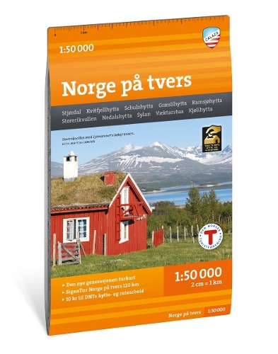
Norway across is a unique expedition experience of 120 kilometres, divided into 7 day stages through the mountain area of Sylan. The tour follows the tourist association's marked routes along 63 degrees north with accommodation in serviced and self-service DNT cabins. This map sheet covers the entire stretch from the fjord in Stjordal to the Swedish border in Tydal with maps on both the front and back. One of the treats on the trip is the mighty Sylmassive, furthest east in Trondelag. The highest peak, Storsylen (1762 m above sea level), lies barely on the Norwegian side of the Swedish border. The cross-country map of Norway is published by Calazo in collaboration with Trondhjems Turistforening and Nord-Trondelag Turistforening. This is part of a modern map series where the terrain information is based on laser scanning from aircraft. The map is made of the material Tyvek, which can withstand water, is protected against tears and has a low weight.
More Details
| Type | Book |
|---|---|
| ISBN13 | 9789188779694 |
| ISBN10 | 9188779696 |
| Number Of Pages | 1 |
| Item Weight | 52 g |
| Publisher / Reseller | Calazo Forlag |
| Format | map |
See More +