Padjelantaleden - Mountain map detailed scale
Padjelantaleden - Mountain map detailed scale
map | Swedish
Published:
1 April, 2022
map | Swedish
Published:
1 April, 2022
Standard worldwide delivery by
Tue, June 30 - Fri, July 3
Order within
0
Condition:
NEW
$17.50
RRP
$19.96
You save $2.46 (12%)
Available
2
in stock
FREE Returns within 30 days
Description
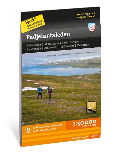
This map has been specially developed for those of you who are going to hike the Padjelantaleden. The map covers the entire stretch of the trail between Ritsem in the north to Kvikkjokk in the south, via classic mountain huts at Akka and Staloluokta. It also includes the route of the Nordkalottleden between Staddajahka and Tarradalen, via Vaimokstugan.
The map is more detailed than other maps that are based on the mountain information at scale 1:100,000.
We have come to the conclusion that the best material for a map is Tyvek (R). It is made of a synthetic fiber that makes the map completely waterproof and very tear-resistant. A Tyvek map will not tear in the folds or lose color when you use it.
More Details
| Type | Book |
|---|---|
| ISBN13 | 9789188335333 |
| ISBN10 | 918833533X |
| Number Of Pages | 1 |
| Item Weight | 54 g |
| Publisher / Reseller | Calazo Forlag |
| Format | map |
See More +