Groevelsjoen & Rogen - Mountain map detailed scale
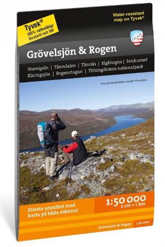
Groevelsjoen & Rogen - Mountain map detailed scale
paperback | English
Published:
1 July, 2023
paperback | English
Published:
1 July, 2023
Standard worldwide delivery by
Mon, July 6 - Thu, July 9
Order within
0
Condition:
NEW
$17.32
RRP
$19.76
You save $2.44 (12%)
Available
4
in stock
FREE Returns within 30 days
Description
This is a cross-border map of the entire area between Groevelsjoen in the south and Tanndalen in the north. The map covers the popular mountain area around Rogen and two national parks; Femundsmarka in Norway and Toefsingdalen in Sweden. The map has a greater wealth of detail than other maps that are based on the mountain information at a scale of 1:100,000, which may be needed if you are going fishing, paddling or ice skating in the multitude of small lakes in the area. We have come to the conclusion that the best material for a map is Tyvek (R). It is made of a synthetic fiber that makes the map completely insensitive to water and very tear-resistant. A Tyvek map will not tear in the folds or lose color when you use it.
More Details
| Type | Book |
|---|---|
| ISBN13 | 9789186773328 |
| ISBN10 | 9186773321 |
| Number Of Pages | 1 |
| Item Weight | 53 g |
| Publisher / Reseller | Calazo Forlag |
| Format | paperback |
See More +