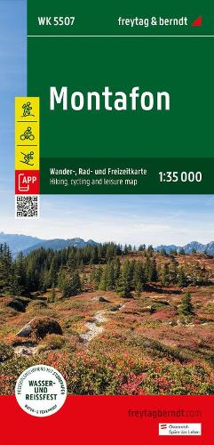
Montafon Hiking, Cycling & Leisure Map - Wander-Rad-Freizeitkarte
Montafon Hiking, Cycling & Leisure Map - Wander-Rad-Freizeitkarte
map
Published:
3 June, 2024
map
Published:
3 June, 2024
Standard worldwide delivery by
Thu, June 18 - Tue, June 23
Order within
0
Condition:
NEW
$16.81
RRP
$17.27
You save $0.47 (3%)
Available
2
in stock
FREE Returns within 30 days
Description
Thanks to the detailed digital cartography and the precise scales, freytag & berndt hiking maps are ideal companions for hiking, mountaineering and ski tours. The Montafon hiking map is revised regularly and contains updated information on hiking trails, cycle and mountain bike trails, huts, natural monuments, cultural sights and leisure facilities. Region: Montafon, Vorarlberg Special themed hiking trails: Central Alpine Trail, Via Alpina, Way of St. James, around the Lünersee, Golmi's Research Trail, St. Gallenkircher Verwall Circuit; Environment maps: WK 254, WK 351, WK 364, WK 374, WK 375, WK 5374, WK 5504;
More Details
| Type | Book |
|---|---|
| ISBN13 | 9783707923414 |
| ISBN10 | 370792341X |
| Number Of Pages | 1 |
| Item Weight | 120 g |
| Publisher / Reseller | Freytag-Berndt |
| Format | map |
See More +