Lithuania East + West + cycling paths
Lithuania East + West + cycling paths
map
Published:
1 November, 2019
map
Published:
1 November, 2019
Standard worldwide delivery by
Tue, June 23 - Fri, June 26
Order within
0
Description
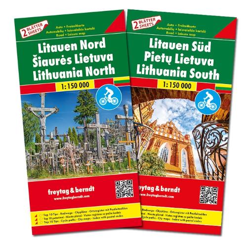
This detailed road map of Lithuania East and West is very suitable for planning and traveling around the country.
The road network is well represented, both the main roads, provincial and local roads. Road numbers are also clearly stated. Distances between places are marked on the map in kilometers, and gas stations are also marked in important places.
Shadow shows the relief and sometimes some points with the actual height. Province borders, national parks and reserves are easy to find. Symbols indicate the location of tourist sites, monuments, historically important places and viewpoints. In certain places you can find hotels and campsites, airports, train connections and ports.
This map is also useful for cyclists.
More Details
| Type | Book |
|---|---|
| ISBN13 | 9783707917741 |
| ISBN10 | 3707917746 |
| Number Of Pages | 2 |
| Item Weight | 1000 g |
| Publisher / Reseller | Freytag-Berndt |
| Format | map |
See More +