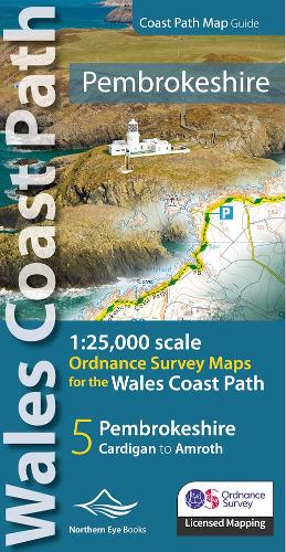
Pembrokeshire Coast Path Map Guide :1:25,000 scales Ordnance Survey mapping for the Pembrokeshire section of the Wales Coast Path - OS Map Books: Wales Coast Path
Pembrokeshire Coast Path Map Guide :1:25,000 scales Ordnance Survey mapping for the Pembrokeshire section of the Wales Coast Path - OS Map Books: Wales Coast Path
paperback
Published:
18 September, 2023
paperback
Published:
18 September, 2023
Standard worldwide delivery by
Tue, June 30 - Fri, July 3
Order within
0
Description
One of seven handy, lightweight, pocket size map books covering the whole of the 870-mile/1400 kilometre Wales Coast Path - from Chester to Chepstow. Each map book matches one of the seven sections covered by the Official Guidebooks. . Sections include: 1: North Wales Coast, 2: Isle of Anglesey, 3: Llyn Peninsula, 4: Snowdonia & Ceredigion Coast, 5: Pembrokeshire, 6: Carmarthen Bay & Gower, and 7: South Wales Coast. - Large scale OS mapping for the complete coast of Pembrokeshire in a handy atlas format. (Also covers the entire Pembrokeshire Coastal Path) - Highlighted official route of the Wales Coast Path - On-map symbols showing amenities at main towns and villages - Introduction with attractive photo mosaic - Additional useful information
More Details
| Type | Book |
|---|---|
| ISBN13 | 9781908632623 |
| ISBN10 | 1908632623 |
| Number Of Pages | 48 |
| Item Weight | 1000 g |
| Publisher / Reseller | Northern Eye Books |
| Format | paperback |
See More +