The Queen's Atlas :Saxton's Elizabethan Masterpiece
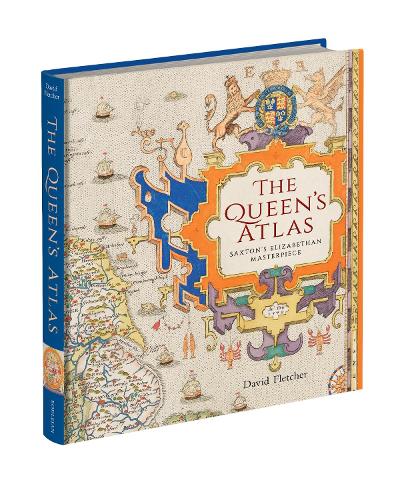
The Queen's Atlas :Saxton's Elizabethan Masterpiece
hardback
Published:
6 November, 2025
Popular Books by David Fletcher
View All Books by David Fletcher


Description
Nowadays, we take for granted the ready availability of maps of all kinds. In mid-Tudor England, they were rare. All this was to change in 1579 when Christopher Saxton, a farmer from the West Riding of Yorkshire, became the first cartographer to make a published atlas of all the counties of England and Wales. This book traces the story of Saxton’s life and legacy by reconstructing his extraordinary mapmaking project alongside the crucial nature of the support and encouragement he received from Queen Elizabeth I and her court.
Saxton’s atlas became the template for most detailed maps of the country for almost two centuries: it is hard to exaggerate its importance. For many, his atlas provided the first detailed image of England and Wales they had ever seen, showing the Elizabethan kingdom as a whole and in its constituent parts. This lavishly illustrated book reproduces all Saxton’s county maps together with many other illustrations revealing the forebears and successors to this groundbreaking work. Today, Saxton’s maps give us an invaluable cartographic snapshot of late Tudor England.
More Details
| Type | Book |
|---|---|
| ISBN13 | 9781851246205 |
| ISBN10 | 1851246207 |
| Number Of Pages | 232 |
| Item Weight | 1000 g |
| Publisher / Reseller | Bodleian Library |
| Format | hardback |
Media Reviews
The Queen’s Atlas is a truly beautiful reminder that maps are the perfect synthesis of science and art, geography and history, politics, power and propaganda. This fascinating account of Christopher Saxton’s life and work is also a time machine, whisking us back to the intrigues of the Tudor court, and its ravenous hunger for knowledge of the lie of its land. Saxton’s maps changed the country for ever; with erudite clarity, David Fletcher tells us why, and shows us how.
Mike Parker, author of Map Addict and All the Wide Border
Finally, a definitive account of Christopher Saxton, the founder of modern regional English mapmaking, and his extraordinary atlas. David Fletcher has produced a seamless marriage of words and images in helping us understand the origins and significance of this monumental act of Tudor mapmaking. A wonderful achievement.’
Jerry Brotton, author of Four Points of the Compass: the Unexpected History of Direction and A History of the World in Twelve Maps.
'There are lots of other eye-catching images in what is to my mind a thrilling and lovely book, and Fletcher’s commentary is invaluable in helping you understand Saxton’s work...'
-- Mathew LyonsGoodReads Reviews
Author's Bio
Dr DAVID FLETCHER is an independent researcher specialising in the history of cartography of England and Wales in the early modern and modern eras.