AA Road Atlas Ireland
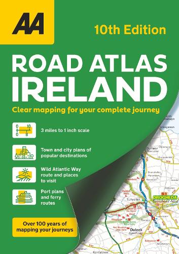
AA Road Atlas Ireland
paperback
Published:
12 September, 2024
paperback
Published:
12 September, 2024
Standard worldwide delivery by
Fri, July 24 - Wed, July 29
Order within
0
Description
This atlas includes AA approved camping sites, viewpoints, picnic sites, port plans and ferry routes. Plus, motorway strip maps detailing all of Ireland's motorway junctions. Toll motorways and motorway service areas are clearly highlighted. There are 10 detailed city and town plans with street indexes of Belfast, Cork, Londonderry, Dublin, Galway, Killarney, Kilkenny, Limerick, Sligo and Waterford. An easy-to-read place name index, includes top tourist sites, airports and service areas. Irish language areas are shown on the main mapping with place names in both English and Irish. District maps of Dublin and Belfast show the surrounding area in more detail and a clear route planner map is included for journey planning across the country. GBP10 off AA European Breakdown cover promotion
More Details
| Type | Book |
|---|---|
| ISBN13 | 9780749584238 |
| ISBN10 | 0749584238 |
| Number Of Pages | 104 |
| Item Weight | 1000 g |
| Publisher / Reseller | AA Publishing |
| Format | paperback |
| Edition | 10th New edition |
See More +