Medieval Roads and Tracks - Shire Archaeology
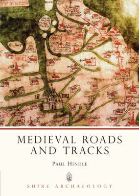
Medieval Roads and Tracks - Shire Archaeology
Paperback
Published:
31 July, 2008
Popular Books by Paul Hindle
View All Books by Paul Hindle


Description
More Details
| Type | Book |
|---|---|
| ISBN13 | 9780747803904 |
| ISBN10 | 0747803900 |
| Number Of Pages | 64 |
| Item Weight | 1000 g |
| Publisher / Reseller | Bloomsbury Publishing PLC |
| Format | Paperback |
| Edition | Revised ed of 2Revised ed of |
Media Reviews
Author Paul Hindle presents a straightforward dissertation on the networkof roads and paths throughout medieval England... In determining where the medieval roads led, Hindle becomes a sort of cartographic sleuth, turning to a number of resources available to the modern scholar... The book is illustrated throughout with photographs, both aerial and ground level, as well as an assortment of graphs and maps...it successfully brings to light its chosen subject. -Barb Allshouse, Renaissance Magazine (August 2009)
Author Paul Hindle presents a straightforward dissertation on the network of roads and paths throughout medieval England... In determining where the medieval roads led, Hindle becomes a sort of cartographic sleuth, turning to a number of resources available to the modern scholar... The book is illustrated throughout with photographs, both aerial and ground level, as well as an assortment of graphs and maps...it successfully brings to light its chosen subject. --Barb Allshouse, Renaissance Magazine (August 2009)