When you buy a used copy YOU SAVE

3.92Kg of CO2

490 litre(s) of Water

0.0294 Tree(s)

1 book donated to global literacy projects
Macmillan Nautical Almanac 1999

Macmillan Nautical Almanac 1999
paperback | English
Published:
18 September, 1998
paperback | English
Published:
18 September, 1998

Standard worldwide delivery by
Thu, July 16 - Tue, July 21
Order within
0

Popular Books by Neville Featherstone
View All Books by Neville Featherstone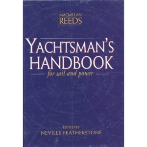
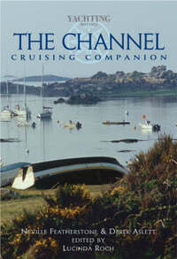
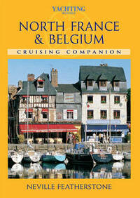

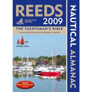
Description
This almanac is an annual compendium of navigational data for yachtsmen in the waters around the UK, Ireland and the coast of Europe from the Franco-Spanish Atlantic border to the North Sea border of Germany and Denmark. It provides source information for the Royal Yachting Association's training publications and is used on RYA instructional courses. It includes: rules of the road; weather; coastal navigation; safety; harbour facilities; waypoints; documentation and customs; radio navigation aids; international codes and flags; tide tables and tidal streams; distance tables; telephone numbers; chartlet of harbours in UK, France, Belgium, Germany and Ireland; and regular supplements. Dividing the coastline into 21 areas, it gives detailed harbour, marina, coastal and tidal information on each one, all illustrated with chartlets. Using a network of over 200 agents and information from many different courses, the almanac is updated each year to ensure it is safe and fully informative. This almanac also contains general navigational information on everything from sailing by the stars to using the latest radio and computer navigational aids, as well as giving data on the weather, communications at sea, safety procedures, tides and over 3600 waypoints.
More Details
| Type | Book |
|---|---|
| ISBN13 | 9780333719718 |
| ISBN10 | 0333719719 |
| Number Of Pages | 980 |
| Item Weight | 1898 g |
| Product Dimensions | 51 x 267 x 189 mm |
| Publisher / Reseller | Macmillan |
| Format | paperback |
| Edition | Main Market |
See More +