Sörmlandsleden - Friluftsatlas - Outdoor atlas
Sörmlandsleden - Friluftsatlas - Outdoor atlas
other | Swedish
Published:
1 April, 2021
other | Swedish
Published:
1 April, 2021
Standard worldwide delivery by
Mon, June 22 - Thu, June 25
Order within
0
Condition:
NEW
$32.68
RRP
$40.07
You save $7.39 (18%)
Available
2
in stock
FREE Returns within 30 days
Description
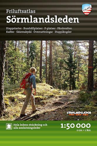
Don't you have a map of the Sörmlandsleden? This is one of the most common questions we get from the publisher. We usually explain that it is not so easy to get a 100-mile-long trail onto one and the same map. This is how the idea was born to make a map atlas of the entire trail with all stage maps of the Sörmlandsleden in one and the same place. The map atlas contains 38 specially developed terrain maps at a scale of 1:50,000, presented in a handy book format. A useful tool regardless of whether you are planning a short excursion or a long hike. Stage starts, car parks, accommodation, bus stops, connecting routes and more are clearly marked on the map. The map atlas is intended to function as a supplement to the Vandra Sörmlandsleden guidebook.
More Details
| Type | Book |
|---|---|
| ISBN13 | 9789189371200 |
| ISBN10 | 9189371208 |
| Number Of Pages | 88 |
| Item Weight | 123 g |
| Publisher / Reseller | Calazo Forlag |
| Format | other |
See More +